
Download Brochure Download Application Form
The decision maker course aims at enhancing the knowledge of planners and decision makers on the use of Remote Sensing, Geographic Information System (GIS), and related technologies in governance for effective planning and decision-making.
Course Title: Remote Sensing: An Overview for Decision Makers
Course Duration: 05 Days
Latest Course Duration: October 05-09, 2026 
Last Date To Apply: July 20, 2026
Target Groups
Participants are expected to be senior professionals, managers, project leaders, planners, or policymakers from fields such as agriculture, forestry, water resources, environment, disaster management, meteorology, geography, economics, urban planning, oceanography, etc.
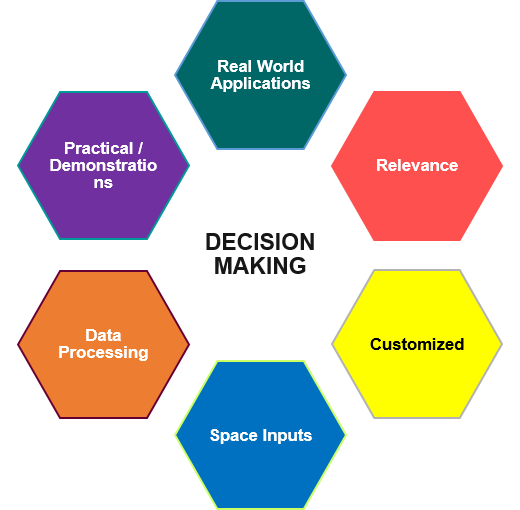
Highlights of the Course
- Current trends in Remote Sensing & Geospatial technology
- Remote Sensing data, institutions, and policies; open-source data and software
- Operational Remote Sensing Applications in Natural Resources Management
- Demonstration on close-range photogrammetry, Bhuvan, and open-source software
- Disaster monitoring and management
- Multi-disciplinary applications of geospatial technology
- Recent trends in geospatial applications
- Case studies/Demonstrations
- Geospatial technologies in governance
Mode of Training
Interactive sessions and demonstrations will be held at the IIRS campus by senior and experienced scientists from IIRS, ISRO, and other knowledge institutions. The course content will focus on demonstrative case studies and success stories using advanced geospatial technologies in various thematic domains.
How to Apply
Eligible applicants are requested to send a scanned copy of their application form, duly signed and forwarded by the controlling authority/institution along with the course fee through e-mail at [email protected].
Eligibility Criteria
Officers of All India Services with 3 years of experience OR senior officials/functionaries working in government organizations, academic institutes, research institutes, geospatial industry, NGOs, or entrepreneurs with 10 years of experience in service are eligible.
Application Deadline
July 20, 2026
Course Fee
Rs. 16,000 (includes tuition fee, single occupancy - boarding/lodging and registration kit) through online transfer or a demand draft of any nationalized bank in favor of Pay & Accounts Officer, Indian Institute of Remote Sensing, payable at Dehradun.
Contact Detail
For further details about the course, please contact:
Dr. Puneet Swaroop
(Course Director)
[email protected]
Dr. Sanjeeev Kumar
(Course Coordinator)
[email protected]

