Visit IIRS Outreach Web Portal

With the advent of Information and Communication Technology and improved broadband internet connectivity has enhanced the scope of learning any time anywhere, going beyond the traditional classroom approach. To support distance learning, Indian Space Research Organisation, Government of India has launched dedicated communication satellite called EDUSAT in 2004. The satellite is widely used for variety of applications like Tele-education, Tele-medicine, Village Resource Centres, mobile satellite services, disaster management support and television broadcasting educating farmers for agriculture and other purposes. One of the prime applications of EDUSAT satellite is tele-education at various levels (i.e. school level/UG /PG level) by different ministries / autonomous organizations / departments/institutions/universities in India effectively utilized the EDUSAT for Tele-education.
The initial focus of IIRS was to use EDUSAT/INSAT 4CR satellite for distance learning but extended the scope to use internet so that access to large number of institutions/universities /individuals with little cost the User. Today this programme is linking more professional and user departments and ministries in the country to develop their skills in geospatial technologies and its applications. The IIRS outreach programme is being conducted through following two major modes:
- Live and Interactive classroom sessions (also known as EDUSAT) and
- E-learning based online courses.
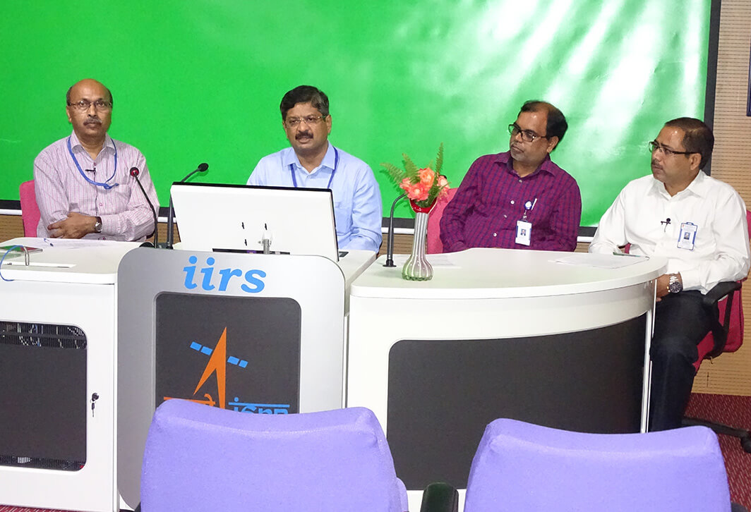
The live and interactive mode of distance learning is through Internet and indigenous developed e-class platform (https://eclass.iirs.gov.in). The live classroom session are being conducted during 4:00 PM to 5:30 PM on daily basis through state of art studio facility setup in the Institute.
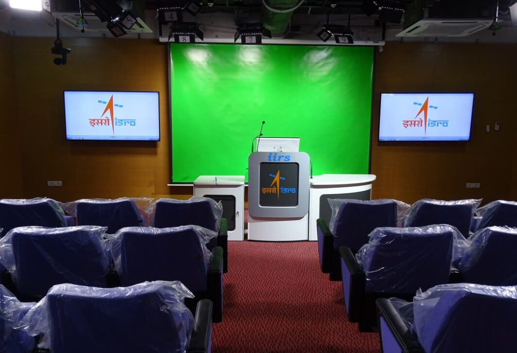
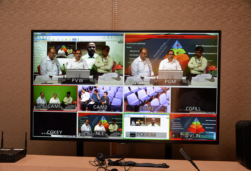
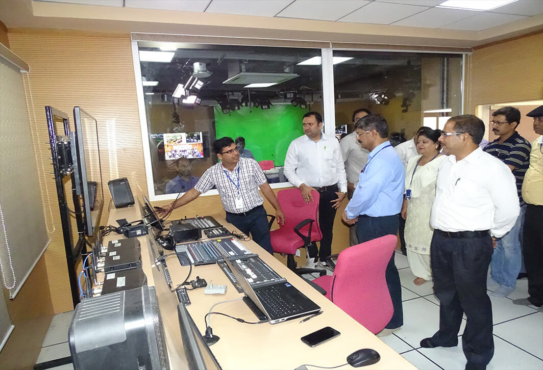
IIRS has setup a state-of-art studio facility and control room to broadcast live and interactive classroom sessions and practical demonstrations through its Distance Learning Center. The high definition video quality can be broadcast to its user for better quality transmission.
Further to enhance the outreach of geo-spatial science and technology, IIRS has developed e-learning contents and Learning Management Systems (LMS) for different certificate courses in Remote Sensing and geo-spatial technology (http://elearning.iirs.gov.in). The e-learning courses are self-paced and learner centric courses. The syllabus of the courses are as per latest developments and trends in geo-spatial science and technologies with specific focus on Indian case studies for geo-spatial applications. The learning is made available through interactive 2D and 3D animations, audio, video for practical demonstrations, software operations with free data applications. The learning methods are implemented to make it more interactive and learner centric application with practical examples of real world problems.
There are two modes of accessing the IIRS e-learning program, a user can go either for self-learning program which is without any fee or can opt for certificate program, for which a nominal fee (payable through demand draft) has to be paid. The complete architecture of the program is shown below.
The e-learning portal of IIRS provides theory as well as practical classes. The hour distribution of the theory and practical for various subjects is shown as:
Distribution of e-learning hours for available courses under IIRS e-learning programme.
| Subject | e-learning hours | |
|---|---|---|
| Theory | Practical | |
| Image Statistics |
3 |
2 |
| Basic Remote Sensing |
19 |
3 |
| Photogrammetry and Cartography |
12 |
2 |
| Digital Image Processing |
14 |
7 |
| Geographical Information System |
19 |
7 |
| Global Navigation Satellite System |
4 |
2 |
| Customization of Geospatial Tools |
3 |
5 |
| Applications of Geospatial Technologies-Theory |
4 |
- |
The user registration and admission module is developed outside Moodle LMS for proper user management and linking the participants with IIRS EDUSAT programme. The adopted e-learning objet standard and other technical details are shown below:
Technologies and standards
| Component | Technology/Standard |
| Operating System | Linux |
| Database Server | MySQl |
| Application Development | PHP, Javascript and HTML, Flash |
| LMS | Moodle |
| Web Server | Apache |
| Object standard | SCORM 2004, 4th edition |
| Online classes | Apache OpenMeeting |
| URL | http://elearning.iirs.gov.in |
The open source software and data sets for practical exercises are also available to the participants. In future it is planned to give access to IIRS laboratory for practical exercises through private cloud.
The IIRS e-learning courses are flexible for anytime, anywhere learning keeping in mind the demands of geographically dispersed audience and their requirements. The program is comprehensive with variety of online delivery modes with interactive, easy to learn and having a proper blend of concepts and practical to elicit students' full potential.


