Profile of Scientist and Scientific Staff

Water Resources Department (WRD) was established in the year 1986 and since then it has emerged as leader in capacity building, research and consultancy services in various fields, such as hydrological modelling, flood risk mapping and zoning, watershed conservation, planning & management, snowmelt runoff modelling, irrigation command area inventory and water management. The department specialises in the areas of flood monitoring and damage assessment, hydrological and hydraulic modelling, impact assessment of climate change in water resources, irrigation water management and drought assessment, snow, glacier studies, soil erosion, sediment yield modelling and reservoir sedimentation, surface and ground water hydrology, and watershed assessment and management.
The current research interests include: remote sensing based hydrologic parameter retrieval and modelling, data assimilation, climate change effects on water resources, and role of GIS, DSS in water resources planning, development and management.
Regular Courses:
- M. Tech in RS-GIS with specialization in Water Resources
- P.G. Diploma in RS-GIS with specialization in Water Resources
- P.G. Diploma in Geo-Hazard with specialisation in Hydrometeorological Hazard
- P.G. Diploma Course in Remote Sensing & GIS of CSSTEAP (UN)
- NNRMS course (for University/Institute/College Teachers)
Additionally the division has been providing guidance during project to students enrolled in the following courses:
- Post Doctorate Fellows in Water Resources/Earth Sciences/Remote Sensing
- Ph.D in Water Resources/Earth Sciences/Remote Sensing
- M.Sc. in Geoinformatics
- M.Sc. / M. Tech of other Indian and foreign institutes
- Summer Training of Post Graduate and Graduate level students
Special Courses:
- Special course on “RS & GIS applications in Water Resources Management” in distance learning mode by WRD during 22 May-09 June 2017 for about 125 registered EDUSAT nodes covering various academic institutes and government departments
- ‘Application of Remote Sensing and GIS in Water Resources’ for 11 officials from G. B. P. U. A. & T., Pantnagar during 13-24 July 2015.
- ‘Remote Sensing and GIS Applications in Water Resources’ for 25 officials from Central Water Commission during 19-23 August, 2014.
- ‘Remote Sensing and GIS Applications in Hydrological and Hydrodynamic Studies’ for 19 officials from Central Water Commission during 16-27 September, 2013.
- ‘Flood Risk Mapping, Modelling and Assessment Using Space Technology’ for 19 UN Officials during 22- 26 July 2013
- ‘Application of Remote Sensing and GIS in Water Resources’ for 10 officials from G. B. P. U. A. & T., Pantnagar during 08-19 July 2013.
- ‘Application of Remote Sensing and GIS for Water Resources Management in Minor Irrigation Projects’ for 10 Engineers of Minor Irrigation, DoWR, Govt. of Orissa during 12-23 September 2011.
- ‘Hydrological studies for Railway Bridges - with special emphasis to assessment of Catchment Area/Discharge using Digital Elevation Model (DEM)’ for 10 Officers of South Central Railway (SCR) – Secunderabad during 23 August - 03 September, 2011.
- ‘Environmental Impact Assessment (EIA) of Hydro Power projects’ for 09 officers from Sutlej Jal Vidyut Nigam (SJVN) Ltd. Shimla during 13-16 December, 2010.
- ‘Performance Evaluation of Canal Irrigation Projects Using Remote Sensing & GIS’ for 20 officials from CSSRI Karnal, IARI New Delhi and NIH Roorkee during 15-24 April 2010.
- ‘GIS Applications in Irrigation Water Management’ for 20 Irrigation engineers from UP Irrigation Department during 06-24 July 2009.
- ‘Application of Remote Sensing and GIS for water Resources Management in Minor Irrigation Projects’ for 19 officials from Tamil Nadu Water Resources Department and IMTI during 16- 27 February 2009.
- ‘GIS Applications in Irrigation Water Management’ for 20 Irrigation engineers from UP Irrigation Department during 01-26 September 2008
- ‘Application of Space Technology for Disaster Management support with Emphasis on Flood Risk Management’ for 18 international participants working in Disaster Management during 20 August – 14 September, 2007.
- ‘Remote Sensing and GIS Applications in Water Resource Management’ for 20 CWC officers of during 2006.
- ‘Remote Sensing and GIS Applications in Water Resource Management’ for for 9 officers of Tank Rehabilitation project Pondicherry, during 06-10 July, 2004.
- Short course (one week) for 12 officers of Integrated Watershed Development Programme (IWDP) in February 2002.
- Hydrological parameters retrieval using remote sensing (Rainfall, Evapotranspiration ET, Soil Moisture SM, Surface Runoff SR, Terrestrial Water Storage TWS)
- Improving mapping and monitoring of surface water body, snow and glaciers using RS-GIS
- Watershed characterization and planning using RS-GIS
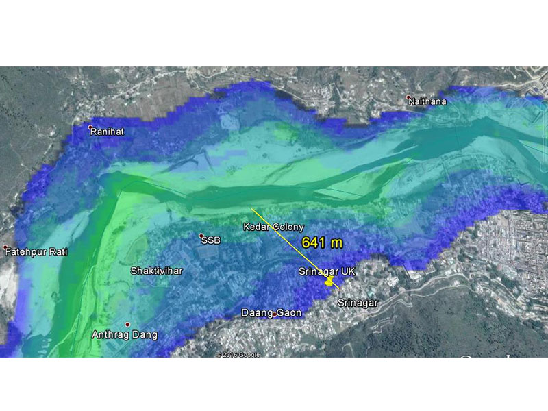
- Flood Mapping, Modeling/Forecasting & Risk assessment using geospatial tools
- Snow and glacier melt runoff modeling with energy balance and hybrid models
- Microwave remote sensing (SAR, altimeters, radiometer and scatterometer) for water resources studies (snow, soil moisture, water level and river flow)
- Hyperspectral RS application in water resources (snow, glacier, water quality and soil moisture)
- Hydrological and Hydraulic modeling and RS data based hydrological parameters assimilation
- Soil Erosion and Soil Moisture mapping and modeling
- Irrigation Water Management using geospatial tools
- Drought Monitoring using remote sensing
- Site suitability analysis for water harvesting, river valley, irrigation and hydro power projects and EIA for water resources projects
- Urban hydrology and water distribution network modeling using geospatial inputs
- Ground water modelling and assessment
- Climate and LULC change impact assessment on water resources
- Planetary water ice and hydrological cycle studies
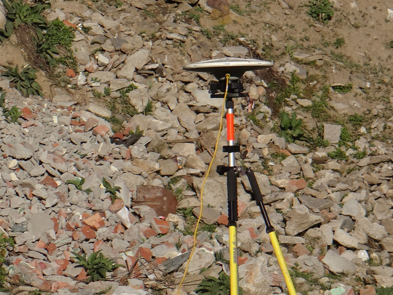
- Handheld GPS
- Laser distance meter (1km range) integrated with GPS
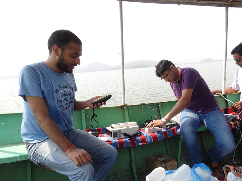
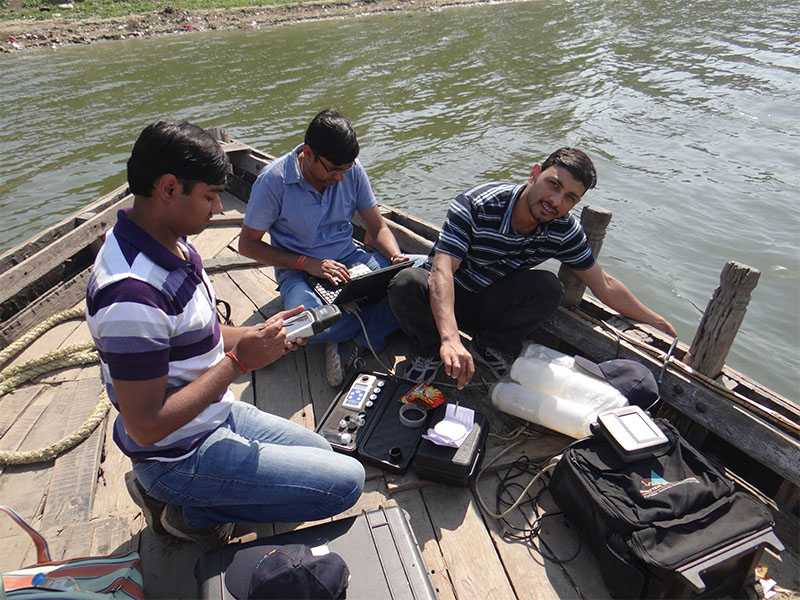
- Digital field based Multi-parameter probe for water quality studies
- Digital turbidity meter
- Digital water level recorders (Pressure and Floating type DWLRs)
- Digital river flow meter
- Digital Eco-sounder (On site reading without GPS and non-recording)
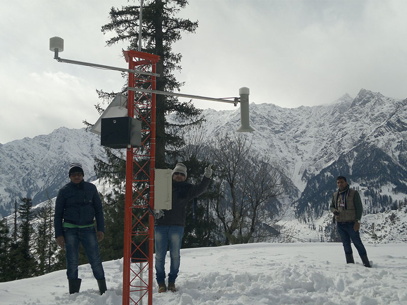
- Snow pack analyser (SPA) for major snow pack properties (installed in Manali, HP)
- Snow scale for SWE estimation (installed in Manali, HP)
- Snow depth and snow precipitation gauges (installed in various sites in HP and UK)
- Automatic rain gauge (installed at IIRS)
- Handheld Tree height gauge
- Digital field based snow-fork (Snow density and wetness measurements)
- Measuring Tapes (15 and 50m)
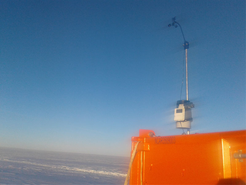
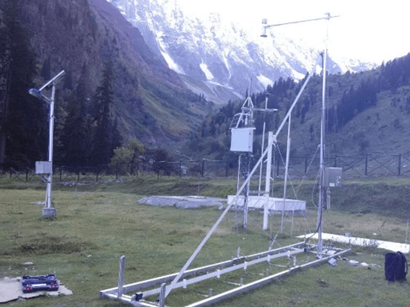
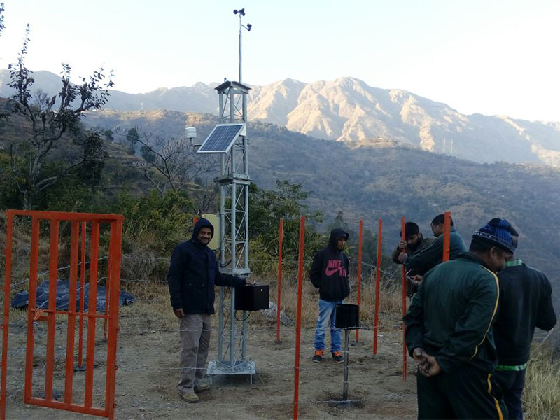
- Automatic Weather Stations with GSM based telemetry (21 AWS, installed at various sites in HP and UK)
- Soil moisture sensor (Installed at Haripur, Solani watershed)
- Soil pH & Moisture Meter
- Theta probe for soil moisture
- Fabricated field samplers for snow density
- Digital Weighing machine (5kg), Spring Balance Pocket Type Cap: 10 Kgs.
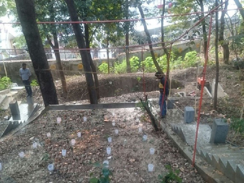
- Hill slope rainfall simulator with accessories
- Hydrogen (H2) cylinders for fuel cell system (installed in IIRS with IIRS-AWS)
- Others field accessories a) Solar panels (two nos. 6W) b) Emergency lights (two) c) sleeping bags (one) etc.
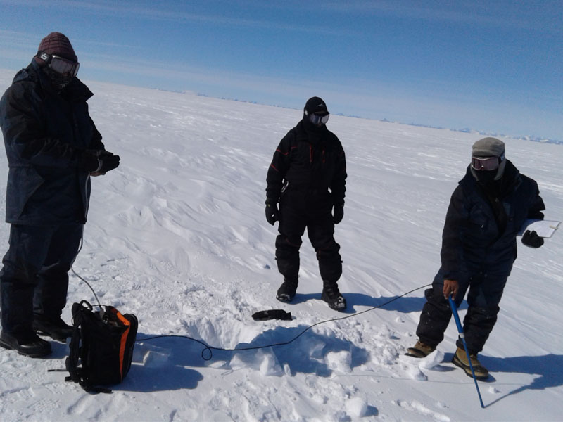
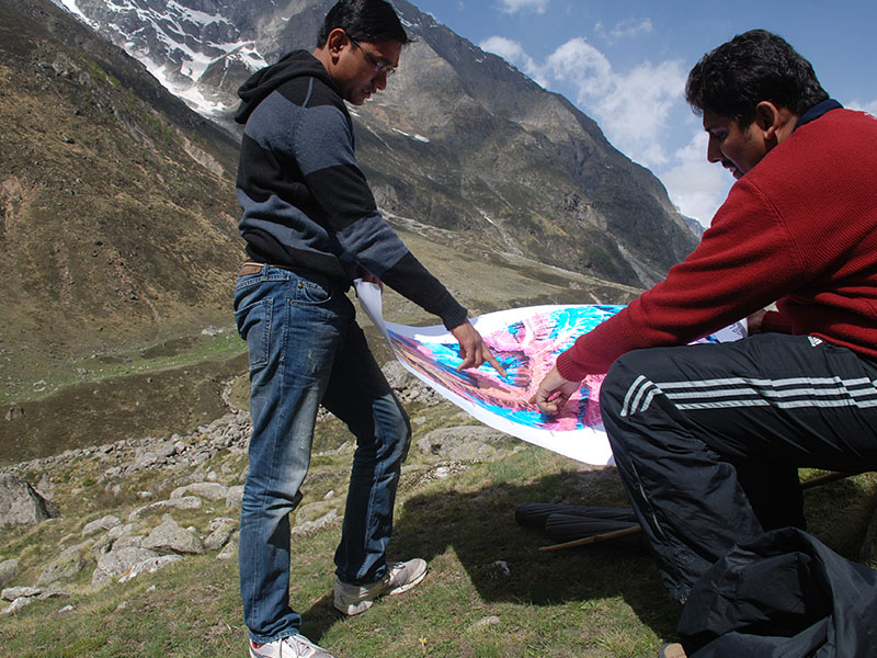
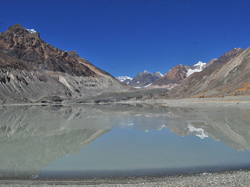
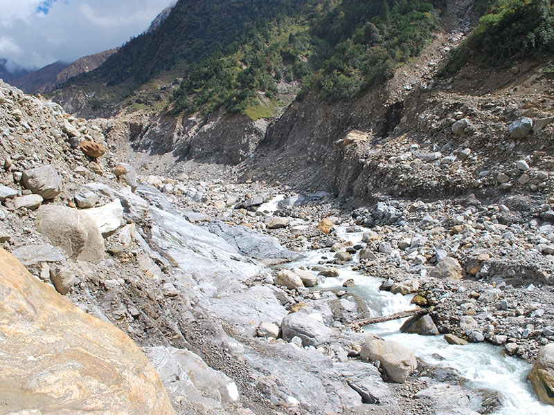
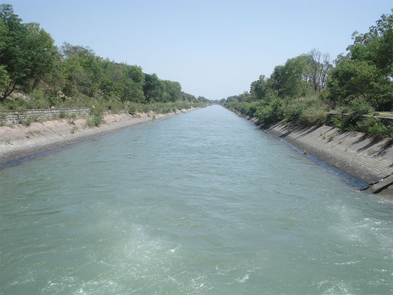
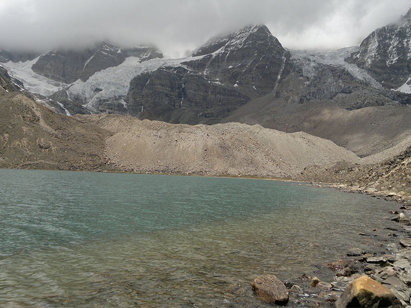
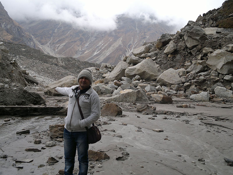
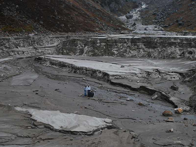
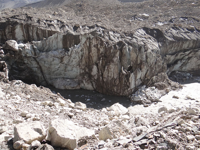
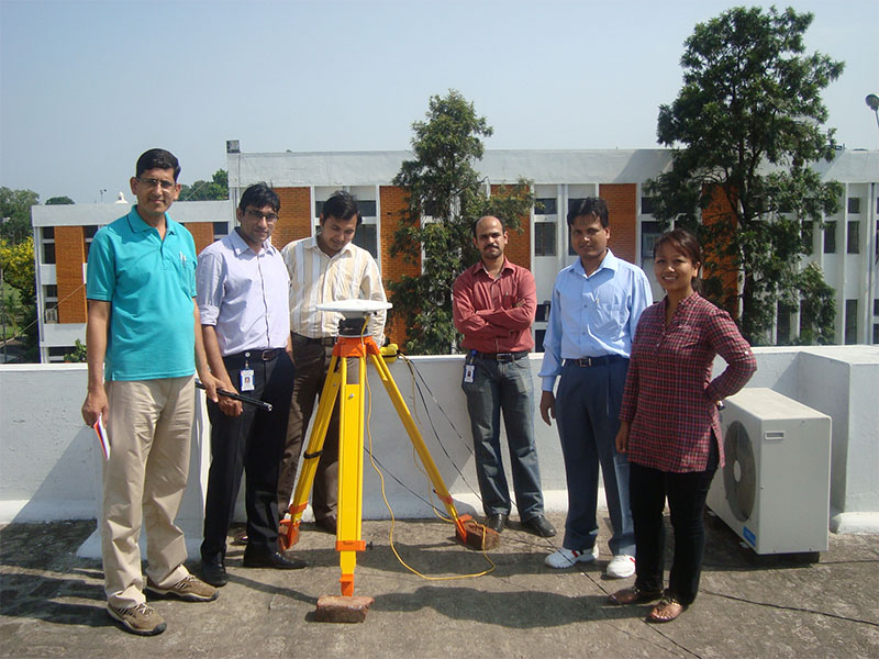
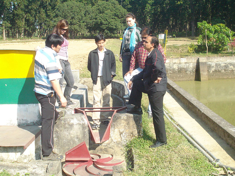
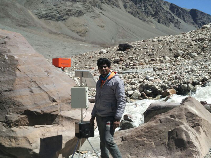
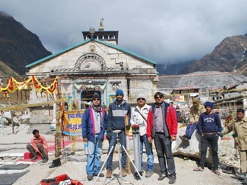
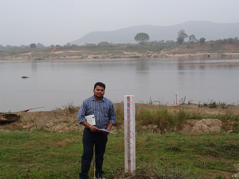
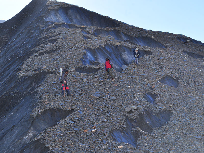
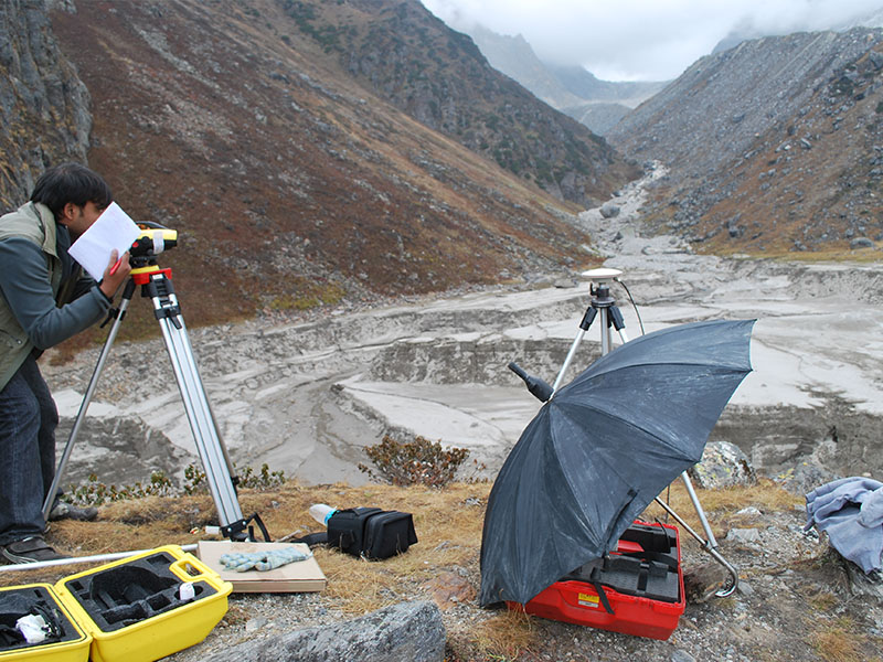
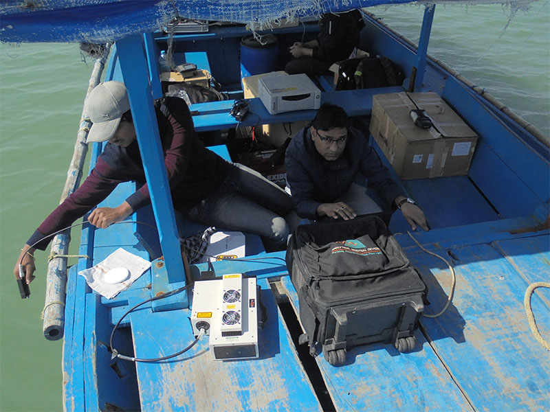
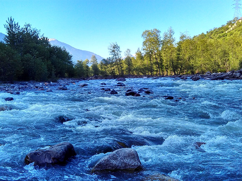
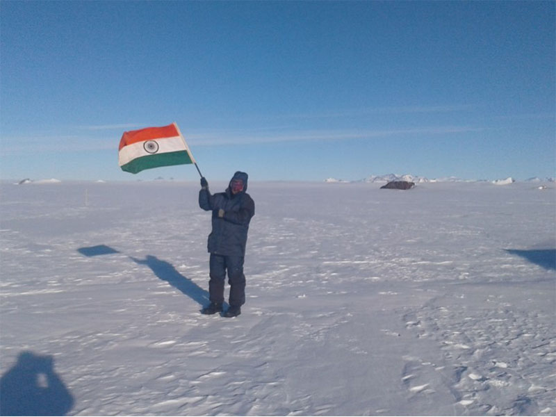
Photographs of Recently executed field works & projects
Completed
- TDP: Establishment and calibration of a regional scale distributed hydrological model for studying climate-land surface interaction (2006-2011).
- TDP: Retrieval of snow cover area and snow physical parameters over North Western Himalayan Mountains using optical and microwave remote sensing (2007-2012). (373 KB) Language: English
- TDP: Modelling of soil moisture regime in irrigated and rain fed agricultural using process based model framework and geospatial data assimilation techniques (2012-2016).
- TDP: Development of relationship among Vegetation Indices (VI) and influencing parameters adopting soft computing approach (2012-2016).
- TDP: Hillslope Hydrologic Response Studies in Northwest Himalayan Ecosystem. (663 KB) Language: English
- TDP: Retrieval of geophysical parameter related to water resources using hyper spectral remote sensing (2012-2016). (348 KB) Language: English
- TDP: Development of Hydrological Modelling Framework Using Open Source Tools To Estimate Surface Runoff and Sediment Yield(2012-2016) (140 KB) Language: English
- RISAT-UP: Estimation of snow cover area, snow physical parameters and glacier related studies in parts of Western Himalayas using microwave and optical remote sensing (2010-2014), completed in March 2014. (508 KB) Language: English
- IGBP: Land Use Land Cover dynamics & impact of human dimension in Indian River basins, Impact of LULC and climate change on Indian river basins (2012-2016) (448 KB) Language: English
- NAPCC: Impact of Climate & LULC change on Hydrological Regime of Ganga River Basin (2010-2013) (346 KB) Language: English
- SARAL-ALTIKA -UP: SARAL ALTIKA applications for Inland Waters, Glaciers and Sunderban Delta (2012-2015). (393 KB) Language: English
- AIBP phase -II: Upper & Madhya Ganga canal command infrastructure monitoring. (2010-2011) (8.8 MB) Language: English
- EOAM: Remote sensing based hydro-meteorological data assimilation in the hydrological and weather forecasting models. (2012-2016) (295 KB) Language: English
- In-House R&D;: Soil erosion and soil moisture estimation over India using geospatial techniques (2008-2010) (306 KB) Language: English
Ongoing
- EOAM: Monitoring and Assessment of Ecosystem Processes & Services in North-Western Himalaya: sub theme – 4: water resources status & availability (Phase I: 2013-2018; Phase –II: 2018-2021). (719 KB) Language: English
- EOAM: Ensemble hydrological modelling approach for integrated water balance studies for dynamic water resources assessment in geospatial environment for Indian River basins (2016-2021). (338 KB) Language: English
- DMS (R&D;): Remote sensing, ground observations and integrated modelling based early warning system for climatic extremes of North West Himalayan region (2014-2019). (444 KB) Language: English
- SCATSAT - AO: Algorithm development for Snow Water Equivalent Retrieval in North West Himalaya and wind fields at polar Marginal Ice Zones using Ku-band SCATSAT-1 scatterometer and SAR data (2017-2020)
- AIRSAR - AO: Three projects on snow-glacier, soil moisture and flood studies using AIRSAR data (2017-2020) sponsored by SAC Ahmedabad as part of NISAR - AIRSAR project.
- In-House R&D;: Ice sheet, sea ice, glacier and lake dynamics study in parts of Antarctic and arctic using remote sensing and modelling approach (2016-2020) (818 KB) Language: English
- In-House R&D;: Hydrological Modelling and land surface parameters generation over Indian Monsoon Region using land surface hydrological models (2015-2019). (332 KB) Language: English
Phone : +91-135-2524163
Email : wrd_office[at]iirs[dot]gov[dot]in
Address : 4, Kalidas Road,Dehradun- 248001 India


