The PG Diploma programme aims to provide in-depth understanding of remote sensing, satellite image analysis, Geographic Information System (GIS) and Global Navigation Satellite System (GNSS) technologies and their applications in various fields viz., agriculture and soils, forestry & ecology, geosciences, water resources, marine and atmospheric sciences, urban and regional studies, large-scale mapping, disaster management studies, etc.
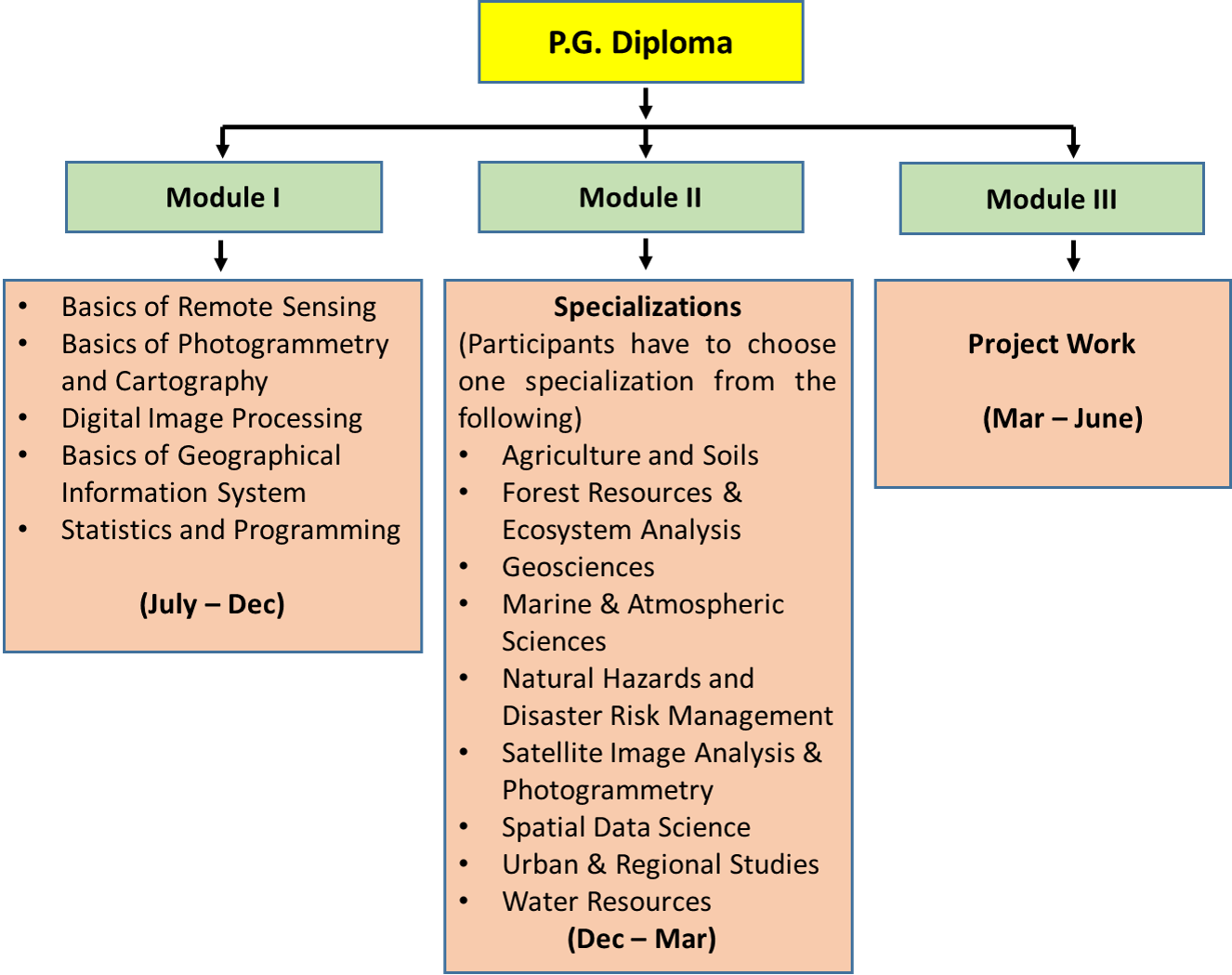
The PG Diploma course has modular structure. First module covers basics of geospatial technologies, second module deals with thematic disciplines, and third module contains pilot project work. The PG Diploma programme is conducted in following disciplines
- Agriculture and Soils
- Forest Resources and Ecosystem Analysis
- Geosciences
- Marine and Atmospheric Sciences
- Natural Hazards and Disaster Risk Management
- Satellite Image Analysis and Photogrammetry
 Spatial Data Science Download Brochure for Post Graduate Diploma in Remote Sensing and Geographic Information System (955 KB)Language: English
- Urban and Regional Studies
- Water Resources

-
P.G. Diploma
-
Module 1
(July-Dec)
- Basics of Remote Sensing
- Basics of Photogrammetry and Cartography
- Digital Image Processing
- Basics of Geographical Information System
- Statistics and Programming
-
Module 2
(Participants have to choose one specialization from the following)
(Dec-Mar)
- Agriculture and Soils
- Forest Resources and Ecosystem Analysis
- Geosciences
- Marine & Atmospheric Sciences
- Natural Hazards and Disaster Risk Management
- Satellite Image Analysis & Photogrammetry
- Spatial Data Science
- Urban & Regional Studies
- Water Resources
-
Module 3
(Mar-June)
- Project Work
-
| Specialization | Subjects |
|---|---|
|
Agriculture and Soils |
|
|
Forest Resources and Ecosystem Analysis |
|
|
Geosciences |
|
|
Marine and Atmospheric Sciences |
|
|
Natural Hazards and Disaster Risk Management |
|
|
Satellite Image Analysis and Photogrammetry |
|
|
Spatial Data Science |
|
|
Urban and Regional Studies |
|
|
Water Resources |
|


